
Emergency Response & Situational Awareness
Intelligent Emergency Management
At Simbi Labs India, our Emergency Response & Situational Awareness services leverage GIS mapping, real-time spatial intelligence, and geospatial data analysis to support emergency planning, disaster management, and rapid response operations. We transform geographic data into actionable insights to improve risk assessment, resource allocation, and emergency decision-making.
Emergency Response & Situational Awareness: Enabling Smarter Decisions
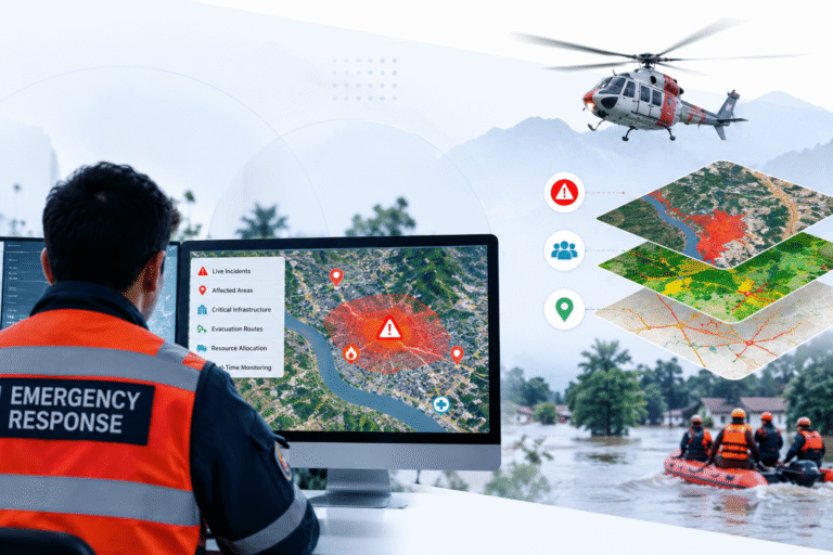
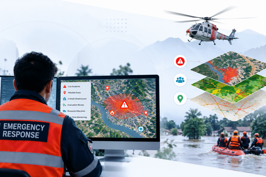
Simbi Labs India provides advanced geospatial intelligence and situational awareness solutions to support emergency planning, disaster management, and rapid response operations. Our services combine GIS mapping, satellite imagery analysis, remote sensing, and spatial data analytics to help organizations identify high-risk areas, monitor evolving emergencies, assess potential impacts, and coordinate response efforts. We transform complex geographic data into actionable insights that support risk assessment, evacuation planning, resource allocation, and informed decision-making. From disaster preparedness to emergency response planning, our solutions help organizations improve coordination, enhance situational awareness, and build resilience.
Emergency Response & Situational Awareness
Respond. Coordinate. Protect.
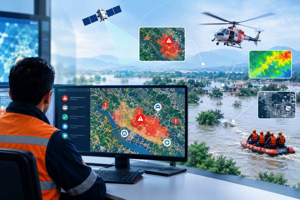
Simbi Labs India provides GIS-based solutions to support emergency preparedness, disaster monitoring, and response planning. We combine spatial data, hazard mapping, and geographic analysis to identify risk zones, assess potential impacts, and support informed emergency decisions.
Our Services Include:
Emergency risk mapping and hazard assessment
Disaster impact analysis
Evacuation route and accessibility mapping
Benefits:
Improved emergency preparedness
Faster, data-driven decision-making
Better resource allocation and coordination
Enhanced situational awareness
Emergency Mapping & Response Planning
Monitor Risks. Coordinate Response. Make Informed Decisions.
Our geospatial solutions help organizations visualize critical facilities, assess vulnerable areas, and plan emergency response activities. We transform geographic data into practical maps and insights that support coordinated planning and disaster resilience.
Our Services Include:
Emergency facility and resource mapping
Geographic risk visualization
Response accessibility and coverage analysis
Benefits:
Clearer understanding of potential risks
Improved emergency resource planning
Better coordination and response preparedness
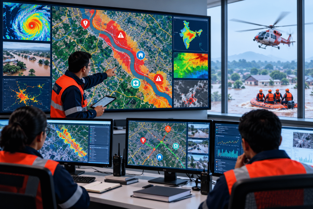
Our Emergency Response & Situational Awareness Service Offerings

Flood Emergency Mapping
We map flood-prone areas, affected locations, and accessible routes using available geographic data to support flood preparedness and response planning.

Emergency Shelter & Safe Zone Mapping
We identify and visualize designated shelters, safe zones, and nearby facilities to support evacuation planning and emergency preparedness.

Emergency Access Route Analysis
We assess road connectivity, access constraints, and alternative routes to support emergency transportation and response planning.
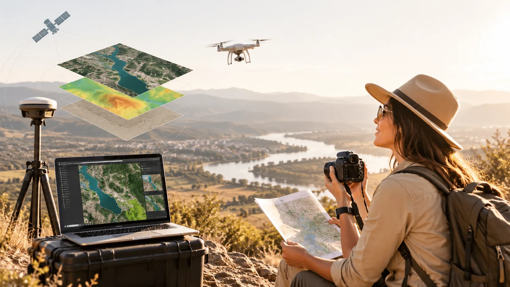
Population Vulnerability Mapping
We combine population data with relevant hazard information to identify potentially vulnerable communities and support targeted preparedness planning.

Search & Rescue Support Mapping
We prepare geographic maps showing incident locations, terrain conditions, access routes, and relevant facilities to support search and rescue planning.

Post-Disaster Recovery Mapping
We map affected areas, damaged assets, and recovery priorities using available geographic data to support rehabilitation and reconstruction planning.
Problems We Solve with Emergency Response & Situational Awareness
Emergency Risk Mapping
We use GIS mapping to identify hazard-prone areas, assess potential exposure, and support emergency preparedness planning.
Disaster Impact Assessment
We analyze geographic data and available imagery to map affected areas and support post-disaster assessment.
Emergency Resource Mapping
We map hospitals, shelters, response centers, and critical resources to support effective emergency planning.
Evacuation Route Planning
We map evacuation routes, access roads, and assembly points to support safer and more organized evacuation planning.
Critical Infrastructure Assessment
We map essential infrastructure and evaluate its potential exposure to hazards to support resilience planning.
Situational Awareness Mapping
We combine relevant geographic layers and location data into clear maps that help teams understand operational conditions.
Accessibility & Response Coverage
We analyze access to emergency facilities and identify potential gaps in geographic service coverage.
Incident Location Analysis
We map incident locations and analyze spatial patterns to support response coordination and operational planning.
Emergency Planning & Coordination
We provide geospatial maps and analytical outputs to support preparedness, resource allocation, and coordinated response planning.
Why us
Why Choose Simbi Labs for Emergency Response & Situational Awareness?
At Simbi Labs India, we provide GIS-based solutions that help organizations assess hazards, map critical facilities, and improve emergency preparedness. Our geospatial expertise supports effective planning, resource allocation, and informed response decisions.
- GIS-based emergency risk mapping and analysis
- Customized evacuation and accessibility mapping
- Critical facility and resource visualization
- Reliable geographic data and spatial insights
- Focus on preparedness and response planning
Data-Driven Accuracy
We analyze geographic data to identify hazard-prone areas, assess exposure, and support emergency planning.
Experienced Technical Team
Our team applies spatial analysis and mapping techniques to develop practical emergency planning solutions.
End-to-End Geospatial Solutions
From geographic data preparation to risk visualization and mapping deliverables, we support your project requirements.
Multi-Industry Applications
We support emergency planning for public services, healthcare, infrastructure, urban areas, and disaster management projects.
GIS & Remote Sensing Solutions Across Multiple Industries
Look at these incridible numbers

About us
Turning Geospatial Data into Emergency Insights
Simbi Labs India provides GIS-based solutions to help organizations understand geographic risks, identify vulnerable areas, and improve emergency preparedness.
Our services combine GIS mapping, spatial analysis, and hazard visualization to support evacuation planning, critical infrastructure assessment, and emergency resource mapping.
From geographic data processing to risk assessment, we deliver practical insights that help organizations plan responses and coordinate operations more effectively.
Softwares Tools We Use
KoboToolbox
KoboToolbox is a data collection platform widely used for field surveys, research, and geospatial data gathering. It allows users to design digital forms, collect GPS coordinates and survey responses, work offline, and export collected data for further GIS and statistical analysis.
QField
QField is an open-source mobile GIS application designed for professional field data collection. Based on QGIS, it allows users to collect, edit, and manage spatial data in the field, including offline environments, and synchronize survey information with desktop GIS projects.
Mergin Maps
Mergin Maps is a mobile mapping and field data collection platform that works with QGIS projects. It enables surveyors to collect and edit spatial data in the field, including offline areas, and synchronize field changes with centralized GIS projects.
SuperGIS
SuperGIS is a GIS software suite used for mapping, spatial analysis, geographic data management, and visualization. It provides tools for creating digital maps, managing spatial databases, analyzing geographic information, and supporting various professional GIS and surveying applications.
QGIS
QGIS is an open-source Geographic Information System used for mapping, spatial analysis, and geospatial data management. It supports numerous data formats and provides tools for creating maps, analyzing geographic information, editing spatial datasets, and visualizing survey results.
Mappt
Mappt is a mobile GIS and field data collection application designed for capturing and managing geospatial information. It supports GPS-based mapping, spatial data collection, attribute editing, and field workflows, making it useful for environmental surveys, infrastructure inspections, and land surveys.
MATLAB
MATLAB is a programming language and environment for numerical computing and data visualization. It is widely used in engineering and scientific research for tasks such as signal processing, image processing, and statistical analysis
STATA
Stata is a statistical software package used for data analysis and visualization. It is particularly popular in academic research, especially in fields like economics, sociology, political science, and epidemiology
SQL
SQL is a domain-specific language used in programming and designed for managing data held in a relational database management system (RDBMS), or for stream processing in a relational data stream management system (RDSMS)
AtlasTi
AtlasTi is qualitative data analysis (QDA) software that helps researchers uncover complex phenomena hidden in their data. It supports the analysis of textual, graphical, audio, and video data
Tableau
Tableau is a powerful data visualization tool that allows users to create interactive and shareable dashboards.
Bioconductor
Bioconductor is an open-source project for the analysis and comprehension of genomic data. It provides tools for data preprocessing, analysis, and visualization of biological data
Power BI
Power BI is a business analytics service by Microsoft that provides interactive visualizations and business intelligence capabilities
JMP
JMP is a data analysis software from SAS that provides dynamic data visualization and exploration capabilities. It is used for statistical analysis, predictive modeling, and multivariate analysis
Softwares Tools We Use
Planning an Emergency Response Project?
Let’s discuss your emergency mapping, hazard assessment, evacuation planning, and situational awareness requirements. Simbi Labs India helps transform geographic data into actionable insights for better preparedness, resource coordination, and informed emergency planning.