
GIS Mapping & Spatial Analysis Services
Turn Geographic Data into Actionable Spatial Insights
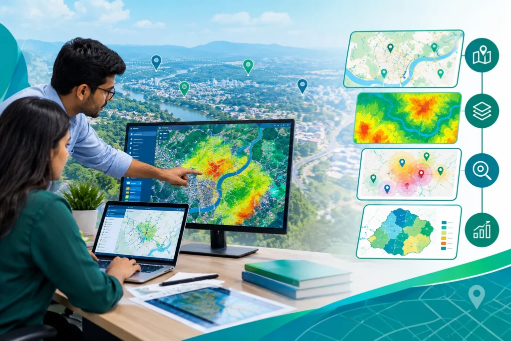
At Simbi Labs India, our GIS Mapping & Spatial Analysis services transform geographic data into actionable insights. Using GIS technology, satellite imagery, and remote sensing, we support land-use mapping, terrain assessment, environmental monitoring, and disaster risk analysis for smarter planning and informed decision-making.
One Solution, Diverse Applications
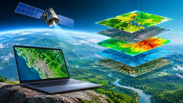
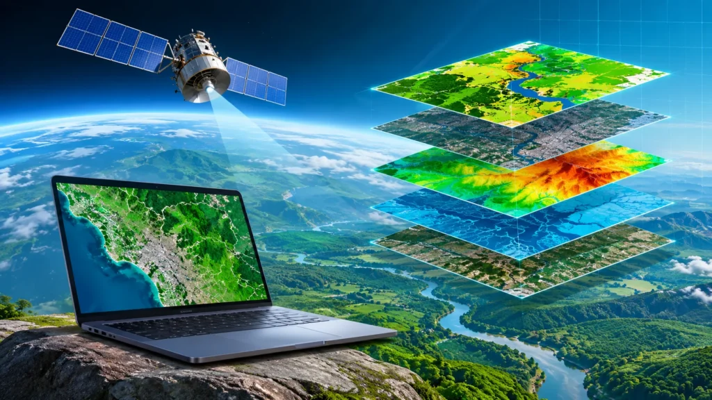
Simbi Labs India provides professional GIS mapping and spatial analysis solutions to help organizations understand geographic patterns, analyze spatial data, and make informed decisions. Our services combine Geographic Information Systems (GIS), spatial data processing, and advanced mapping techniques to support urban planning, infrastructure development, environmental monitoring, transportation, and resource management. We transform complex geographic datasets into accurate maps, meaningful visualizations, and actionable insights tailored to specific project requirements. From thematic mapping and location-based analysis to terrain assessment and spatial modeling, our solutions help organizations identify patterns, evaluate geographical relationships, and improve planning efficiency through data-driven insights.
Map. Analyze. Discover.
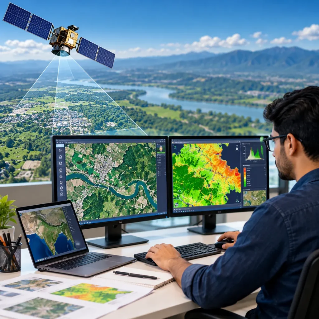
Simbi Labs India offers GIS mapping and spatial analysis services to visualize geographic data, identify spatial patterns, and support informed decision-making.
Our Services Include:
GIS mapping and thematic maps
Land-use and land-cover mapping
Terrain and elevation analysis
Site suitability and location analysis
Geospatial data integration
Benefits:
Better location-based decisions
Improved urban and infrastructure planning
Accurate spatial pattern identification
Efficient resource allocation
Actionable geographic insights
Turn Location Data Into Clear Insights.
Simbi Labs India provides GIS mapping and spatial analysis services to visualize geographic information, identify spatial relationships, and support data-driven planning. Our solutions help businesses, researchers, and planners make better decisions using location-based insights.
Our Services Include:
GIS map creation and visualization
Spatial data integration and analysis
Site suitability and proximity analysis
Thematic mapping and geographic pattern analysis
Benefits:
Clear understanding of spatial relationships
Improved site selection and planning
Accurate geographic insights
Smarter, data-driven decision-making
Our GIS Mapping & Spatial Analysis Solutions
1. Satellite Imagery and Remote Sensing
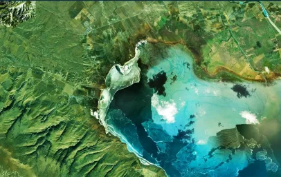
Satellite imagery provides valuable information about the Earth's surface and changing environmental conditions. We analyze satellite data to identify geographical patterns, monitor land development, and assess changes in natural resources.
2. Land Use and Land Cover Mapping
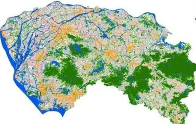
Land-use and land-cover mapping identifies agricultural, residential, commercial, industrial, forest, and water-body areas. Our GIS solutions visualize land features to support urban development, agricultural planning, environmental research, and resource management.
3. Geospatial Change Detection and Monitoring
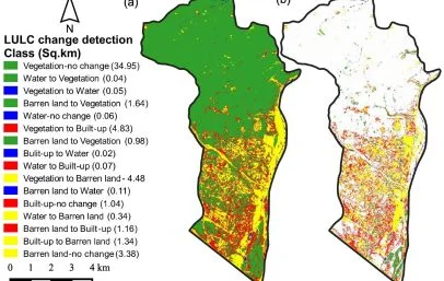
Our spatial analysis services compare satellite images and geographic datasets over time to identify changes in land cover, vegetation, water bodies, and urban areas. These insights help organisations monitor development, assess environmental changes, and support effective land-use planning.
4. Vegetation and Agricultural Analysis
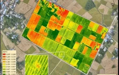
GIS and remote sensing help assess vegetation, crop patterns, and agricultural land. Our services include NDVI analysis, vegetation mapping, and seasonal monitoring to support crop assessment, resource planning, and agricultural research.
5. Terrain and Elevation Analysis
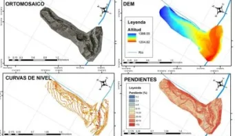
Terrain analysis uses elevation data to understand the physical characteristics of an area. Simbi Labs provides GIS-based terrain assessment to support infrastructure planning, site evaluation, and environmental studies.
6. Hydrology and Flood Risk Mapping
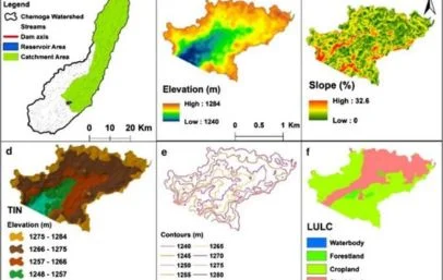
Our GIS-based hydrological analysis evaluates water movement, drainage patterns, watersheds, and flood-prone areas. We support flood-risk assessment, drainage planning, and water resource management using terrain data and spatial analysis.
Applications of GIS Mapping & Spatial Analysis
Look at these incridible numbers

About us
We Transform Geographic Data into Actionable GIS Insights
Simbi Labs India provides professional GIS Mapping & Spatial Analysis services to help businesses, government organizations, urban planners, and researchers transform geographic data into actionable insights. Our solutions combine GIS technology, satellite imagery, remote sensing, and spatial analytics to support land-use planning, infrastructure development, environmental monitoring, and natural resource management.
From geospatial data processing and digital mapping to terrain assessment and location-based analysis, we deliver customized solutions tailored to your project requirements. Our services help identify geographic patterns, monitor environmental changes, and support informed decision-making for smarter planning and sustainable development.
Softwares Tools We Use
KoboToolbox
KoboToolbox is a data collection platform widely used for field surveys, research, and geospatial data gathering. It allows users to design digital forms, collect GPS coordinates and survey responses, work offline, and export collected data for further GIS and statistical analysis.
QField
QField is an open-source mobile GIS application designed for professional field data collection. Based on QGIS, it allows users to collect, edit, and manage spatial data in the field, including offline environments, and synchronize survey information with desktop GIS projects.
Mergin Maps
Mergin Maps is a mobile mapping and field data collection platform that works with QGIS projects. It enables surveyors to collect and edit spatial data in the field, including offline areas, and synchronize field changes with centralized GIS projects.
SuperGIS
SuperGIS is a GIS software suite used for mapping, spatial analysis, geographic data management, and visualization. It provides tools for creating digital maps, managing spatial databases, analyzing geographic information, and supporting various professional GIS and surveying applications.
QGIS
QGIS is an open-source Geographic Information System used for mapping, spatial analysis, and geospatial data management. It supports numerous data formats and provides tools for creating maps, analyzing geographic information, editing spatial datasets, and visualizing survey results.
Mappt
Mappt is a mobile GIS and field data collection application designed for capturing and managing geospatial information. It supports GPS-based mapping, spatial data collection, attribute editing, and field workflows, making it useful for environmental surveys, infrastructure inspections, and land surveys.
MATLAB
MATLAB is a programming language and environment for numerical computing and data visualization. It is widely used in engineering and scientific research for tasks such as signal processing, image processing, and statistical analysis
STATA
Stata is a statistical software package used for data analysis and visualization. It is particularly popular in academic research, especially in fields like economics, sociology, political science, and epidemiology
SQL
SQL is a domain-specific language used in programming and designed for managing data held in a relational database management system (RDBMS), or for stream processing in a relational data stream management system (RDSMS)
AtlasTi
AtlasTi is qualitative data analysis (QDA) software that helps researchers uncover complex phenomena hidden in their data. It supports the analysis of textual, graphical, audio, and video data
Tableau
Tableau is a powerful data visualization tool that allows users to create interactive and shareable dashboards.
Bioconductor
Bioconductor is an open-source project for the analysis and comprehension of genomic data. It provides tools for data preprocessing, analysis, and visualization of biological data
Power BI
Power BI is a business analytics service by Microsoft that provides interactive visualizations and business intelligence capabilities
JMP
JMP is a data analysis software from SAS that provides dynamic data visualization and exploration capabilities. It is used for statistical analysis, predictive modeling, and multivariate analysis
Softwares Tools We Use
Have a GIS Project in Mind?
Let’s discuss your GIS mapping, satellite imagery, or remote sensing requirements. Our team at Simbi Labs India is ready to help you find the right geospatial solution for your project.